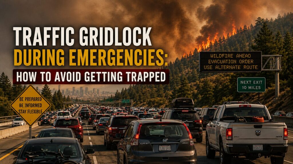
Traffic does not have to stop completely to become dangerous. It only has to slow enough that you lose the ability to change your plan.
A stalled highway during an ordinary commute is frustrating. During a wildfire, chemical release, flood, blackout, civil emergency, or sudden evacuation order, the same road can become a trap. Fuel burns while the car barely moves. Exit ramps clog. Drivers begin using shoulders, medians, and side streets. Emergency vehicles struggle to get through. A route that looked open ten minutes ago can become useless before you reach it.
The mistake is assuming the road will remain an escape route simply because it normally carries a lot of traffic. Major roads move people efficiently under normal conditions because traffic signals, fuel stations, communications, police response, and driver behavior are all working together. Remove even one of those supports and capacity drops quickly.
I use a simple rule for emergency movement: leave while you still have choices, not when everyone has reached the same conclusion.
Why Gridlock Forms So Quickly
Emergency traffic is different from rush-hour traffic. Rush hour is predictable. Drivers are moving in several directions, trips begin at different times, and most people know where they are going.
An emergency compresses thousands of decisions into the same short window. People hear the same warning, choose the same major road, stop for fuel, collect children, call relatives, and head toward the same handful of exits. One crash, disabled vehicle, dark traffic signal, closed bridge, or flooded underpass can reduce an already overloaded road to almost nothing.
The deeper problem is not just volume. It is loss of coordination.
Drivers make sudden turns. Some follow navigation apps onto narrow residential roads. Others stop in travel lanes to check phones or argue over directions. Vehicles run low on fuel. People abandon cars. Intersections become blocked because drivers enter without room to clear them. Once that starts, traffic can remain locked even when the road ahead opens.
This is why an emergency movement plan must include more than one route and more than one transportation option. A useful family emergency plan should identify who makes the leave-or-stay decision, where everyone meets, and what happens when the primary route is unavailable.
The Signals That Mean Traffic Is About to Fail
You rarely get a perfect warning. What you get are small signs that capacity is disappearing.
Watch for several of these at once:
- Traffic is unusually heavy for the time of day.
- Fuel stations have lines extending into the road.
- Navigation apps begin rerouting repeatedly.
- Police close ramps, bridges, tunnels, or intersections.
- Traffic signals are dark or flashing.
- Drivers begin using shoulders or turning around illegally.
- A weather, fire, hazmat, or evacuation zone is expanding toward your route.
- Local radio reports crashes or disabled vehicles on the main corridor.
- Cell service becomes overloaded and maps stop updating.
- The road ahead has no easy turnoffs for several miles.
One signal may mean nothing. Three or four together mean the road system is degrading.
This is where calm judgment matters. Panic pushes people toward motion because moving feels like action. Sometimes the safer decision is to leave immediately. Sometimes it is to wait fifteen minutes, take a slower secondary road, move on foot to a local safe point, or shelter where you are until the first surge passes.
The goal is not to keep driving at all costs. The goal is to preserve options.
Decide Before You Enter the Choke Point
Every area has choke points: bridges, tunnels, mountain passes, highway interchanges, railroad crossings, narrow downtown corridors, and roads bordered by water or steep terrain.
Know yours before an emergency.
A choke point deserves special attention because once you enter it, turning around may be impossible. If traffic is already slowing several miles before a bridge or tunnel, do not assume conditions will improve after you commit. Stop at the last safe decision point and reassess.
Ask three questions:
- Is the route still moving steadily, even if slowly?
- Is there a verified open destination beyond the choke point?
- Can I exit or reverse course if conditions worsen?
If the answer to two of those is no, you are not choosing a route. You are entering a queue with no control over the outcome.
This same thinking applies during a widespread outage. A citywide power failure can disable traffic lights, fuel pumps, rail service, elevators, and communications at the same time. The wider effects are covered in citywide blackout survival, but the immediate road lesson is simple: intersections and fuel access may fail before the roads themselves do.
Build a Real Route Plan
A route plan should include four layers.
Primary route
This is the fastest normal route to your destination. It may use a highway or major arterial road. Treat it as the first option, not the only option.
Secondary route
Choose a route that avoids the same bridge, tunnel, interchange, floodplain, or downtown bottleneck. A side road that feeds into the same blocked bridge is not truly separate.
Local fallback
Identify a nearby safe location you can reach without crossing the whole region. This might be a relative’s home, community building, hotel, workplace, school, or high-ground location outside the immediate hazard area.
No-vehicle option
Plan what happens if the vehicle cannot move. Keep walking shoes, weather protection, water, a paper map, basic first aid, and a small amount of food in the car. A practical car emergency kit checklist helps cover the supplies that become important when a normal drive turns into hours of waiting or an unexpected walk.
Do not assume everyone in the household will be together when the emergency begins. One person may be at work, another at school, and another running errands. Each person needs a destination and a decision rule, not just a shared home address.
What to Keep in the Vehicle
Gridlock changes what a vehicle kit needs to do. It is not only for breakdowns. It may need to support several hours in place, a slow detour, or a short movement on foot.
Keep:
- At least half a tank of fuel as a normal minimum.
- Drinking water that is rotated and protected from temperature extremes.
- Shelf-stable snacks.
- A paper road map with primary and alternate routes marked.
- Phone charging cables and a charged power bank.
- Flashlight or headlamp.
- Seasonal clothing, walking shoes, and rain protection.
- First aid supplies and necessary medications.
- Basic sanitation items.
- A reflective vest and emergency warning devices.
- Cash in small denominations.
- A written contact list and meeting locations.
Fuel discipline matters more than people expect. Idling with climate control running can consume the margin you need for a detour. If you are safely stopped for a long period, use the engine carefully and never run it where exhaust may collect.
When Staying Put Is Smarter
Leaving is not automatically safer.
If the hazard is distant, your building is secure, roads are already locked, and officials have not directed evacuation from your immediate area, joining traffic may expose you to more risk than sheltering temporarily.
Staying put may be the better choice when:
- The main evacuation routes are already stopped.
- The hazard is not moving toward you.
- Your location has water, food, medications, and safe shelter.
- The destination is uncertain or also affected.
- Severe weather makes travel more dangerous.
- Family members have a clear plan to meet later.
- Authorities recommend sheltering in place.
This is not passive waiting. Monitor conditions, keep the vehicle ready, gather essential items, and set a specific trigger that changes the decision. For example: leave if the evacuation zone reaches a named road, smoke becomes visible from the west, water reaches the lower intersection, or officials open a verified route.
A decision trigger removes argument when pressure rises.
What to Do If You Are Already Trapped
If traffic stops, protect your remaining choices.
Do not drive onto shoulders unless directed. Shoulders may be needed by ambulances, fire apparatus, police, tow trucks, and evacuation buses. Blocking them can delay the very response needed to open the road.
Keep doors locked and leave enough distance to maneuver around the vehicle ahead. Watch the temperature gauge and fuel level. Use radio reports rather than relying only on social media. If you must leave the vehicle, move it as far out of the travel lane as possible, take essential supplies, and leave a note showing your direction of travel and contact information.
Be careful about following strangers onto unverified shortcuts. A line of cars turning down a side road does not prove that road is open. It may lead to a locked gate, washed-out crossing, dead end, or another bottleneck.
Most important, do not let frustration make the next decision for you. Gridlock is a control problem. Anger does not restore control; information and preserved options do.
Key Takeaways
- Emergency gridlock forms when too many people make the same decision at the same time.
- Major roads, bridges, tunnels, and interchanges can become choke points quickly.
- Watch for multiple signs of road-system failure rather than waiting for complete closure.
- Build primary, secondary, local fallback, and no-vehicle movement plans.
- Keep enough fuel and supplies to wait, detour, or travel a short distance on foot.
- Decide in advance what conditions mean leave now, wait, reroute, or shelter in place.
- Preserve emergency lanes and avoid unverified shortcuts.
Step-by-Step Actions
- Mark the major bridges, tunnels, interchanges, flood zones, and other choke points near your home, workplace, and children’s schools.
- Choose a primary evacuation route and a truly separate secondary route that does not depend on the same choke point.
- Select one nearby fallback destination that can be reached without crossing the entire region.
- Write down the conditions that mean leave immediately, delay departure, change routes, or shelter in place.
- Keep the vehicle above half a tank and add water, food, maps, chargers, walking shoes, medications, and weather protection.
- Drive both routes during normal conditions and note gates, seasonal closures, construction, narrow roads, and places where you can safely turn around.
- Review the route and meeting plan with every household member and repeat the review whenever work, school, road, or family circumstances change.
Checklist
- Primary evacuation route identified: Yes / No
- Independent secondary route identified: Yes / No
- Local fallback destination selected: Yes / No
- Major choke points marked on a paper map: Yes / No
- Leave, wait, reroute, and shelter triggers written down: Yes / No
- Vehicle fuel maintained above half a tank: Yes / No
- Water, food, medications, chargers, and walking gear stored: Yes / No
- Household meeting locations confirmed: Yes / No
- Written contact list stored in the vehicle: Yes / No
- Routes driven and checked under normal conditions: Yes / No